Black Friday Sale Now On

Shop By Type
Find your perfect pour with Tamburlaine’s consciously crafted styles.
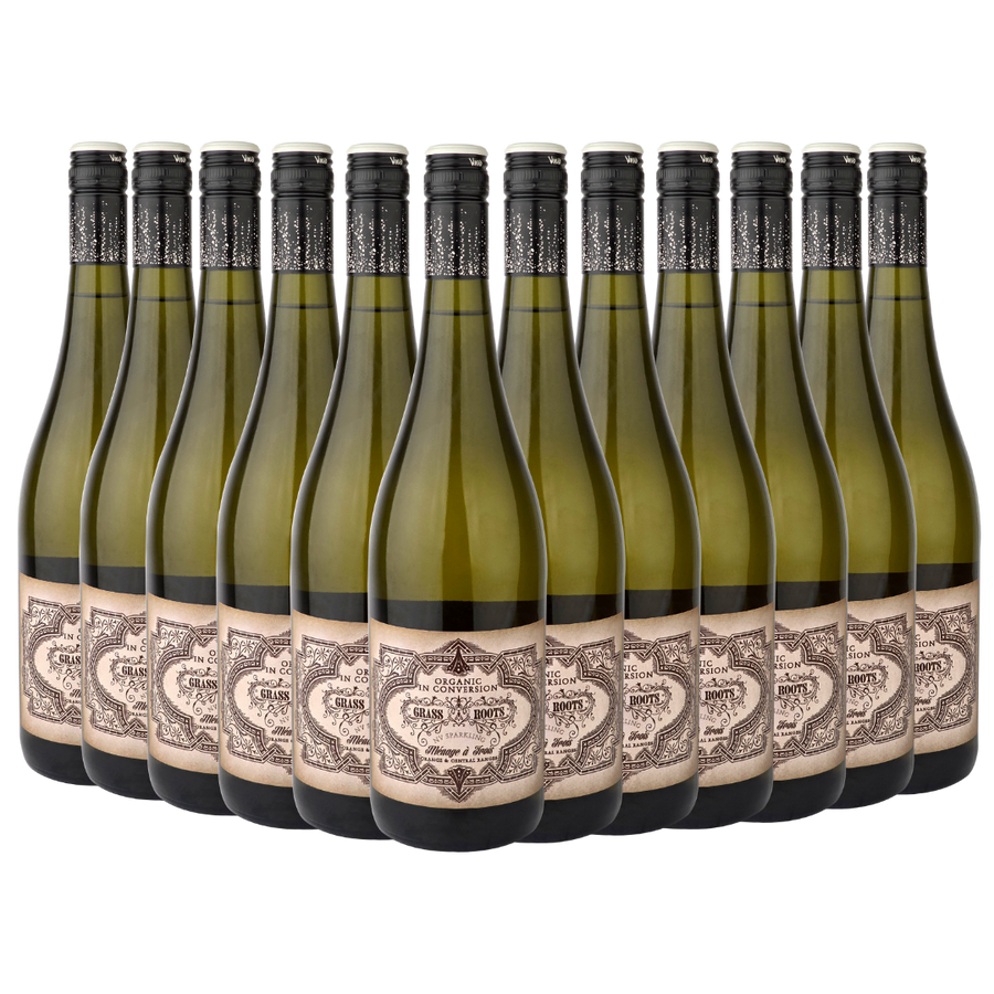
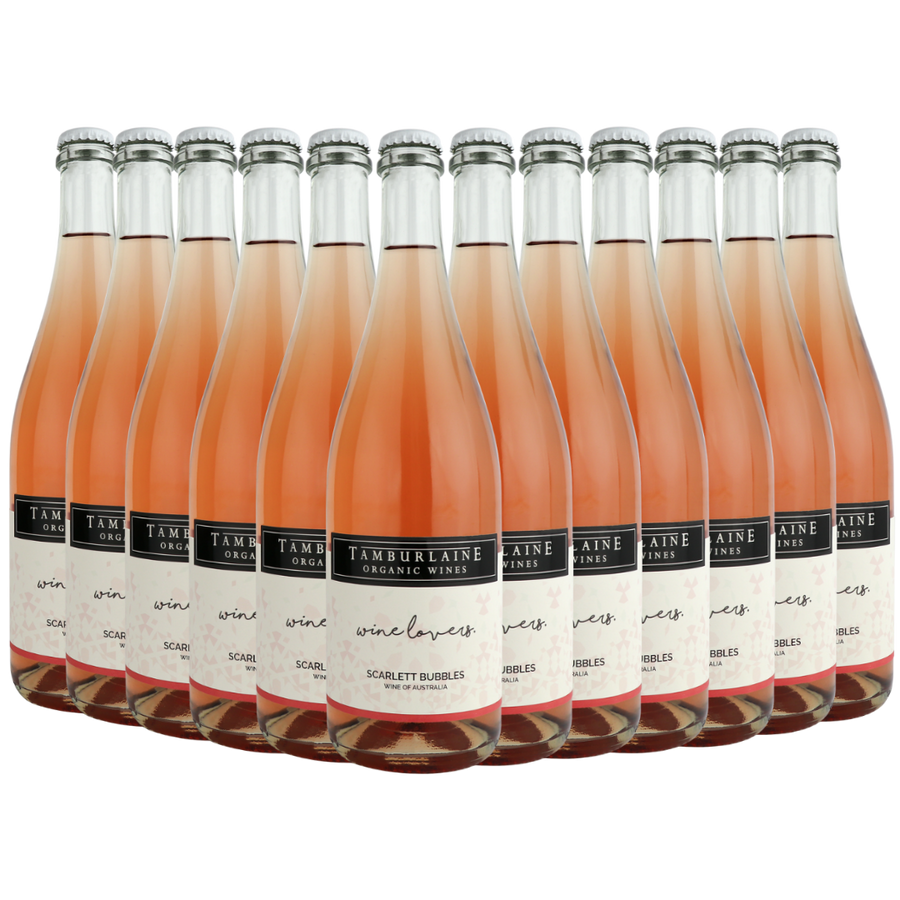
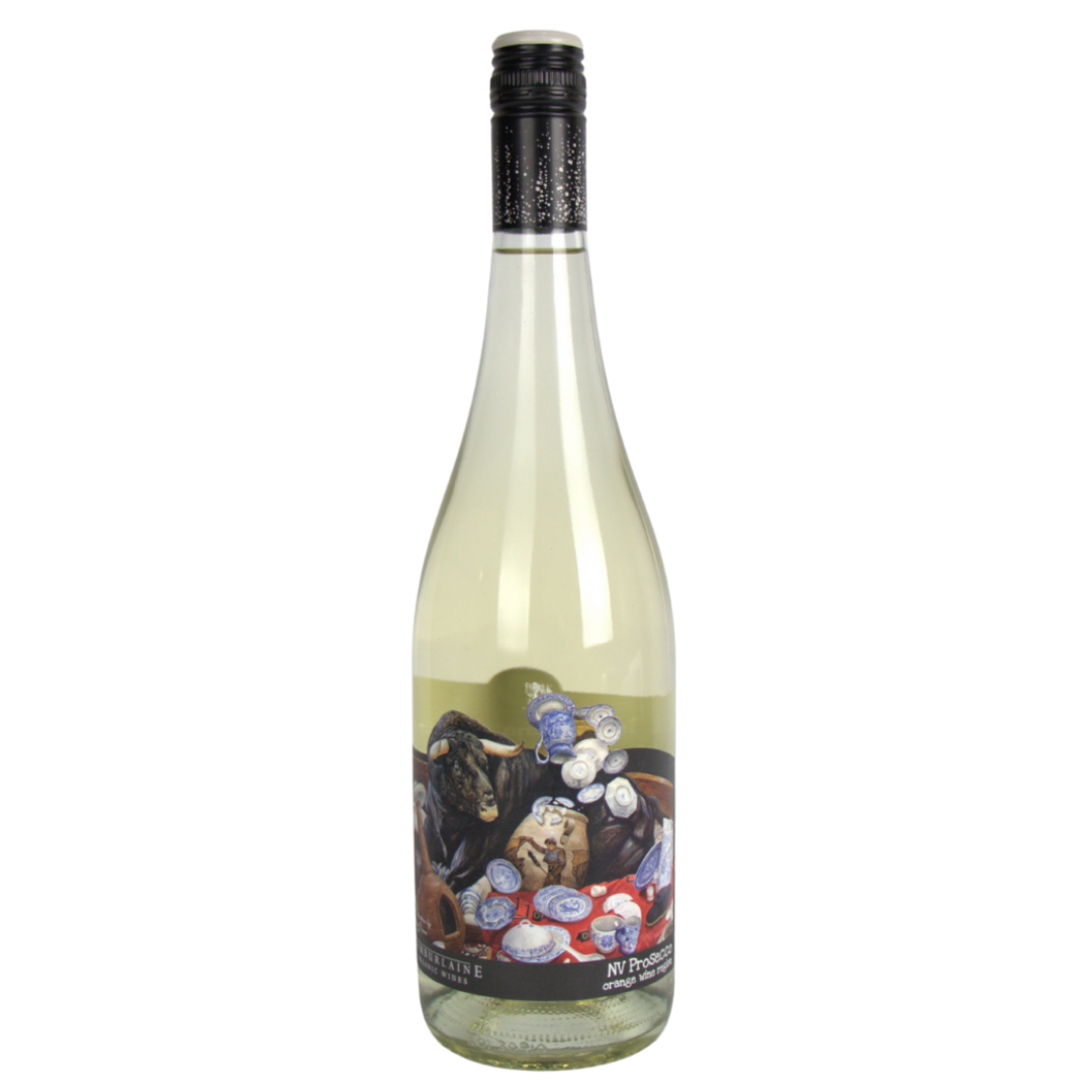
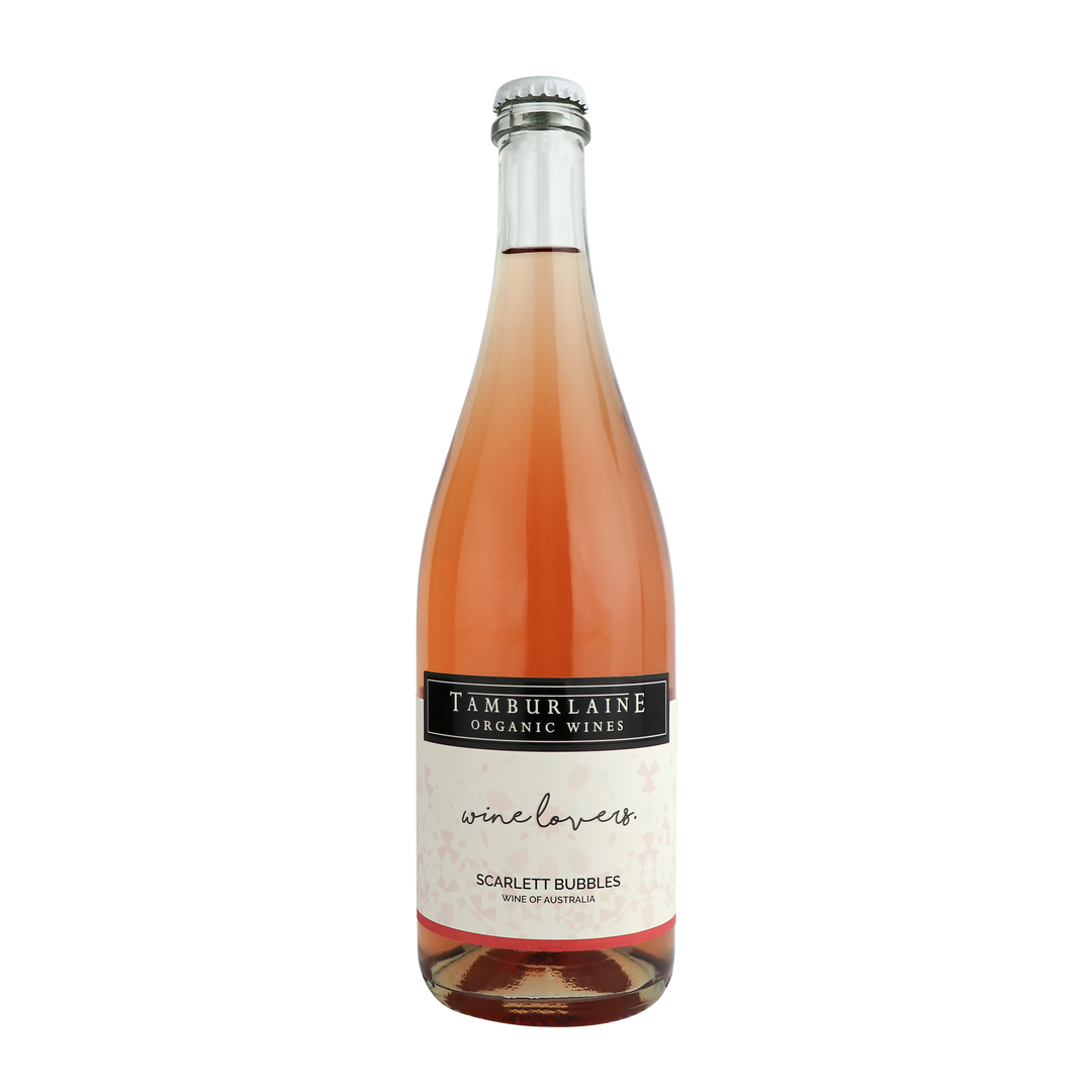
- Sparkling — Lively, crisp and celebratory. Our organic sparklings are made for toasting life’s moments, big and small.
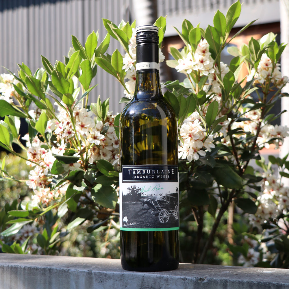
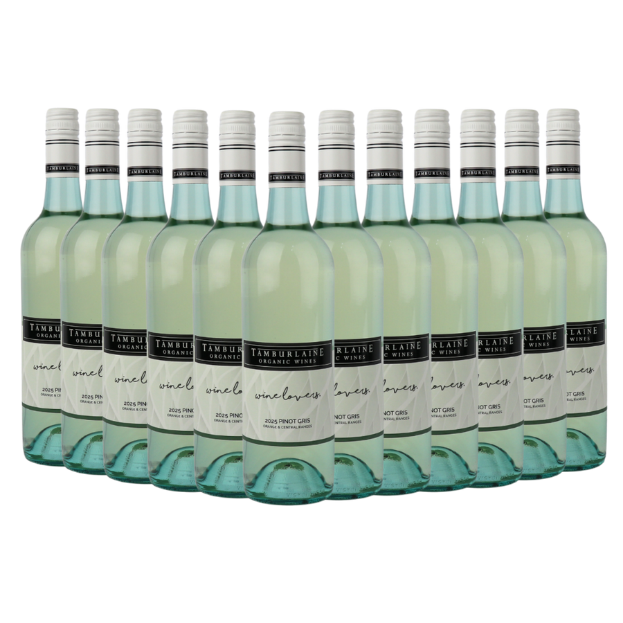
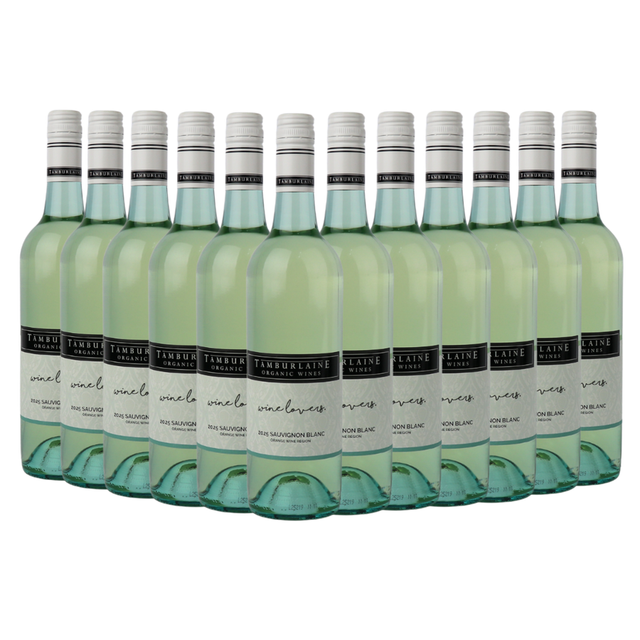
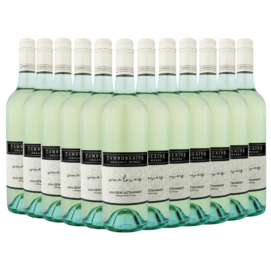
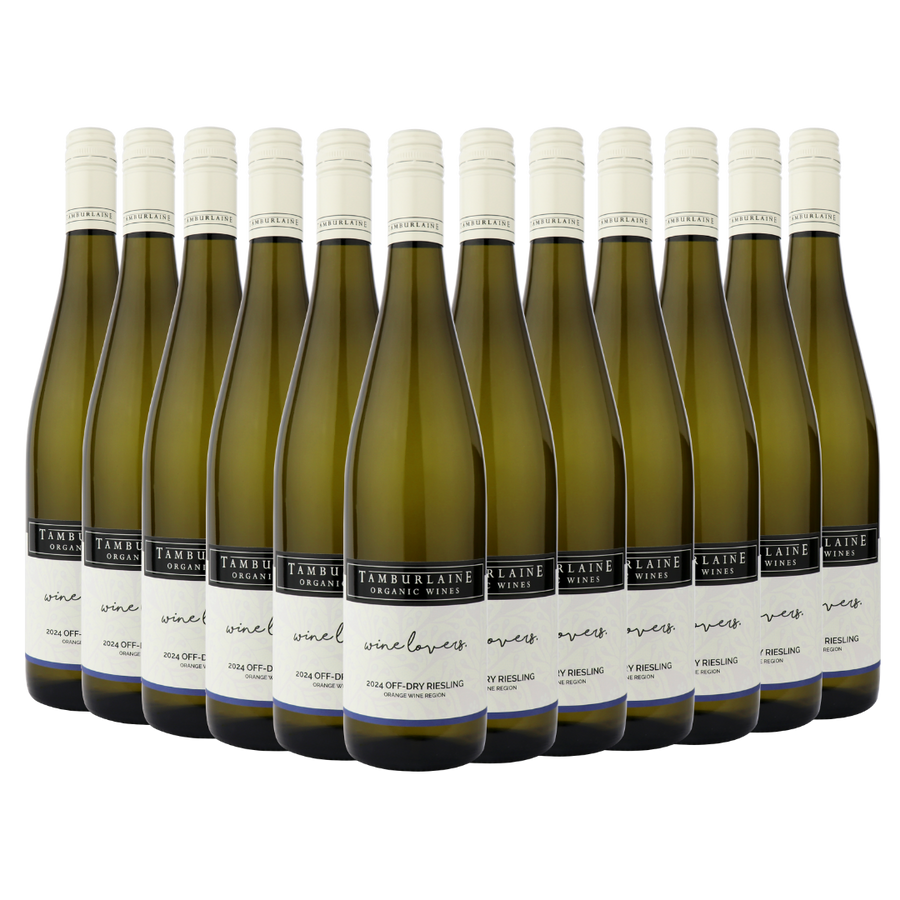
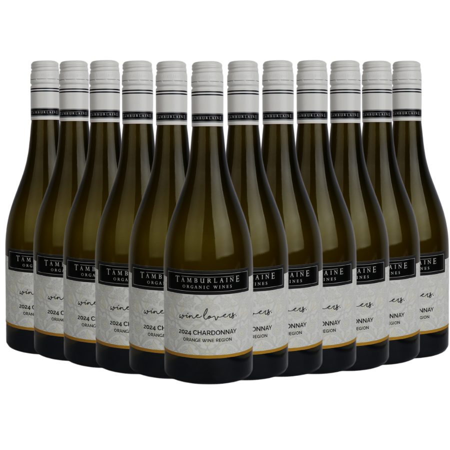
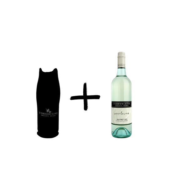
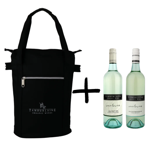
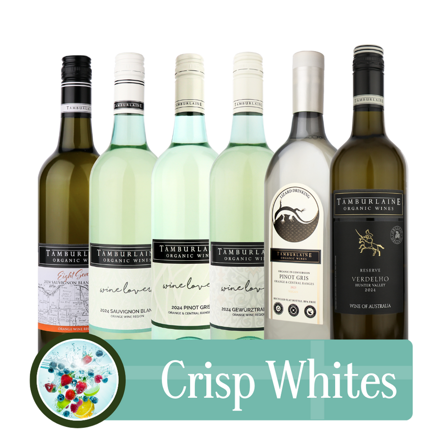
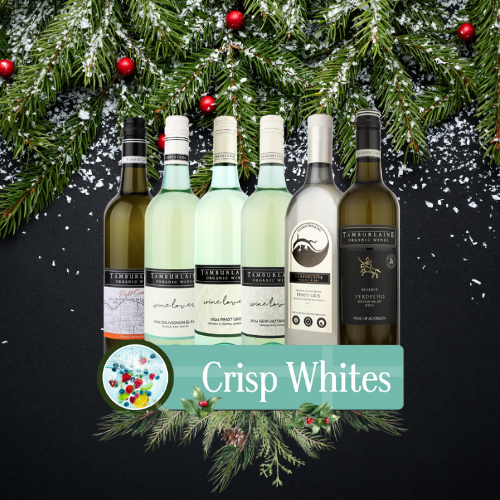
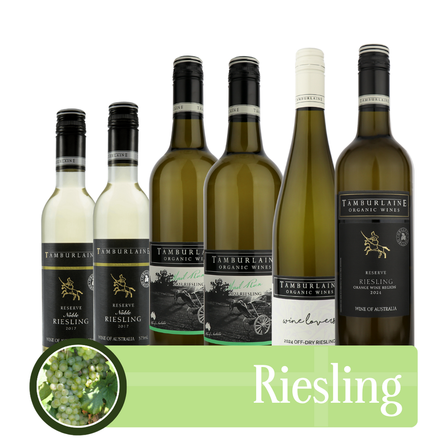
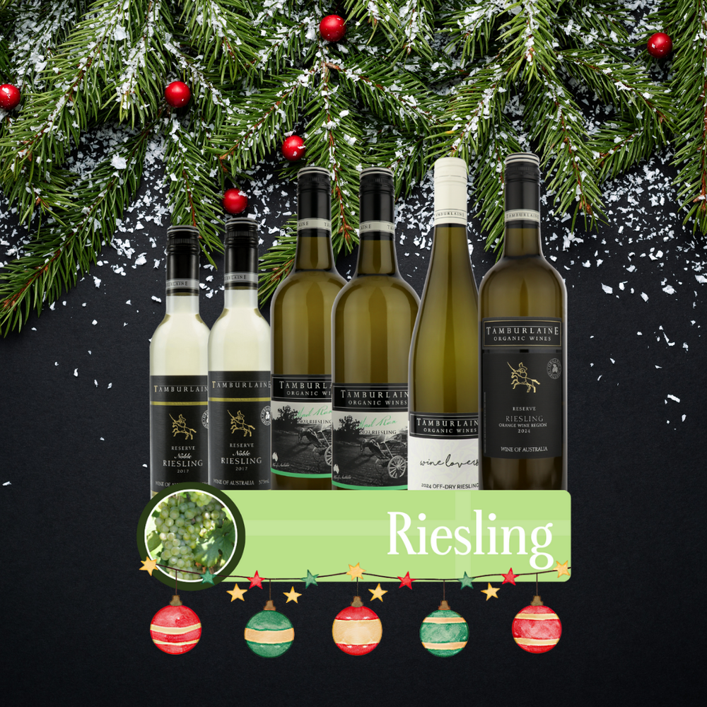
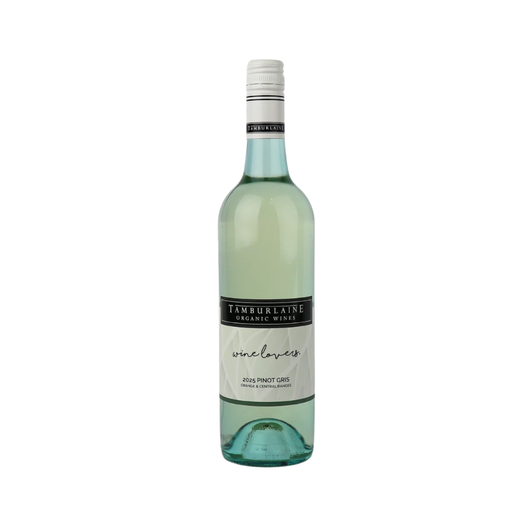
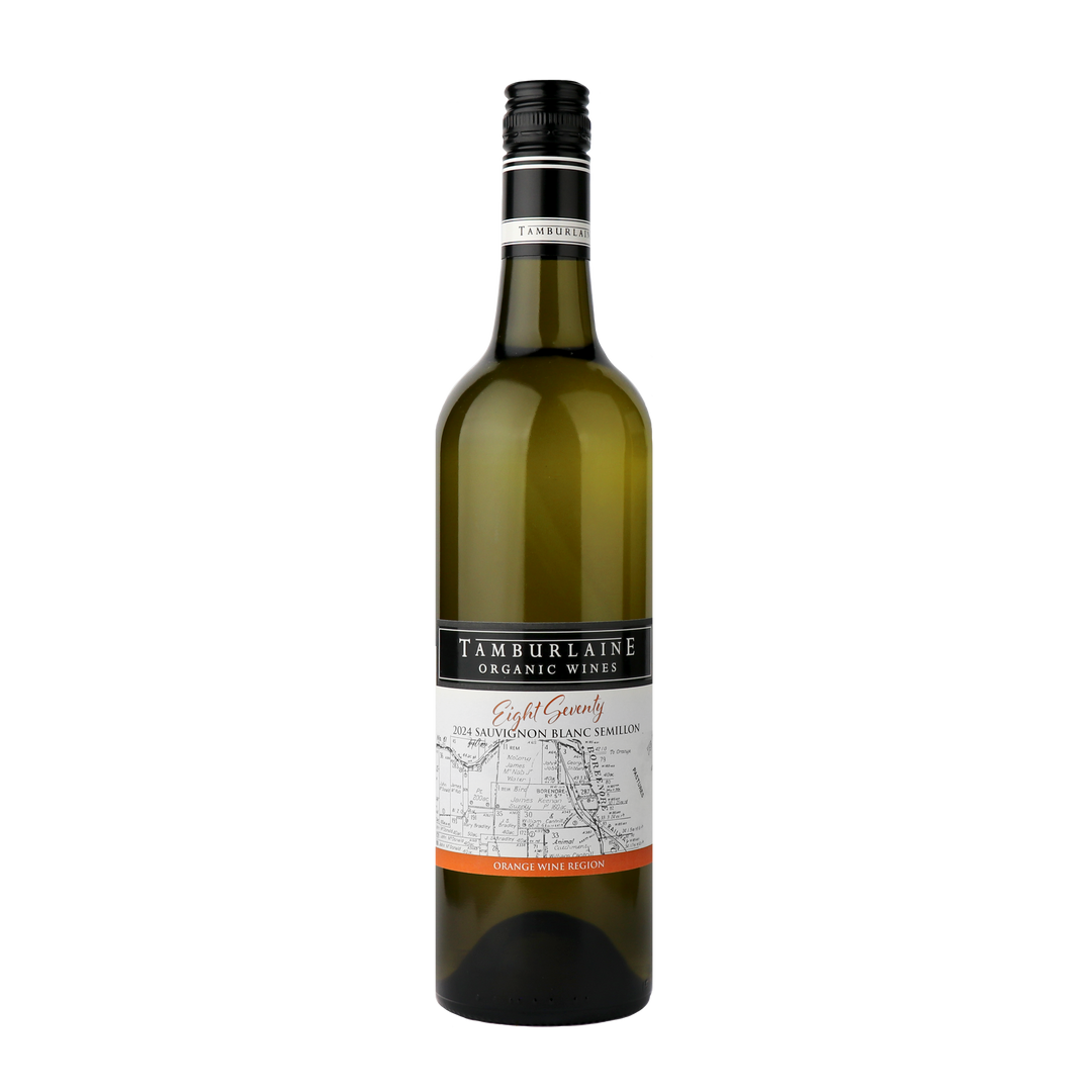
- White wines — From zippy Sauvignon Blanc to creamy Chardonnay, our whites shine with clarity and natural balance.
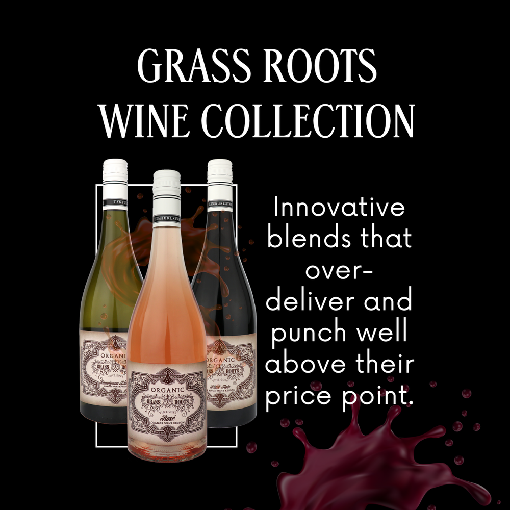
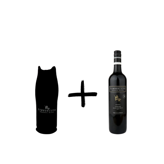
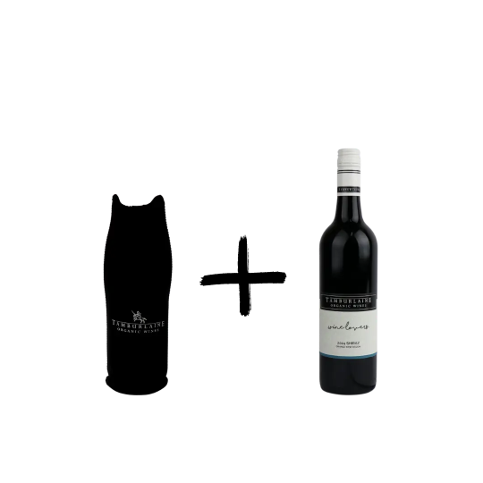
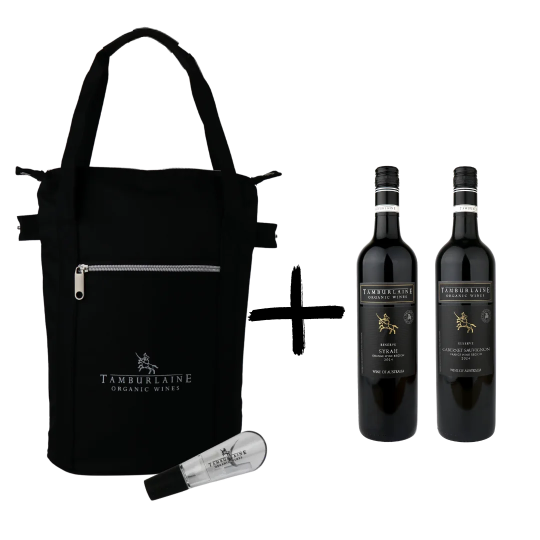
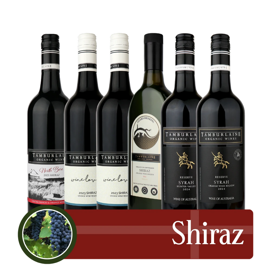
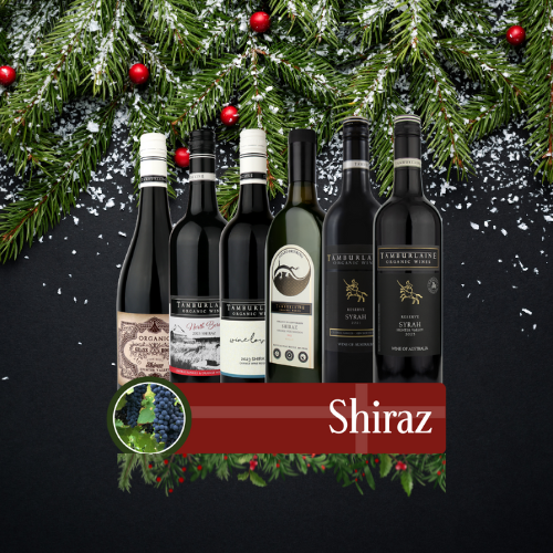
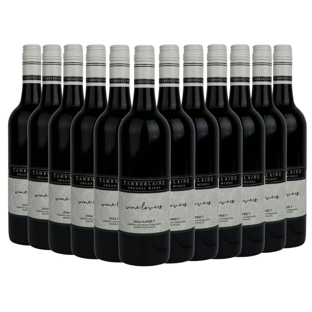
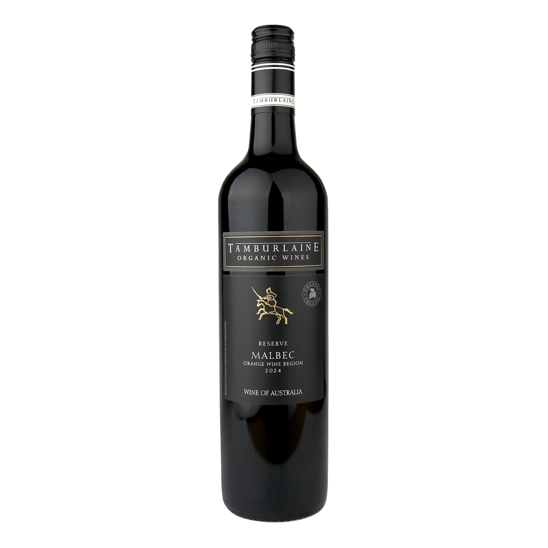
- Red wines — Complex, smooth and bold. Enjoy a spectrum of styles including organic Shiraz, Pinot Noir and Merlot.
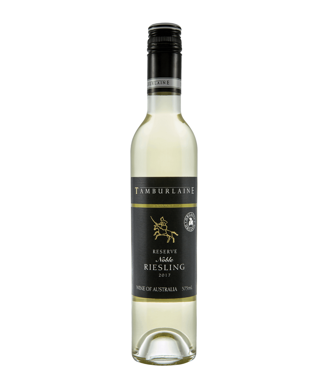
- Sweet and dessert wines — A luscious, indulgent finish to any meal, or just because.
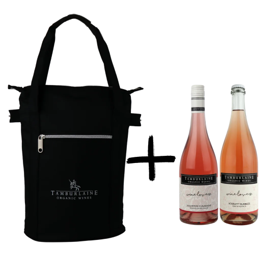
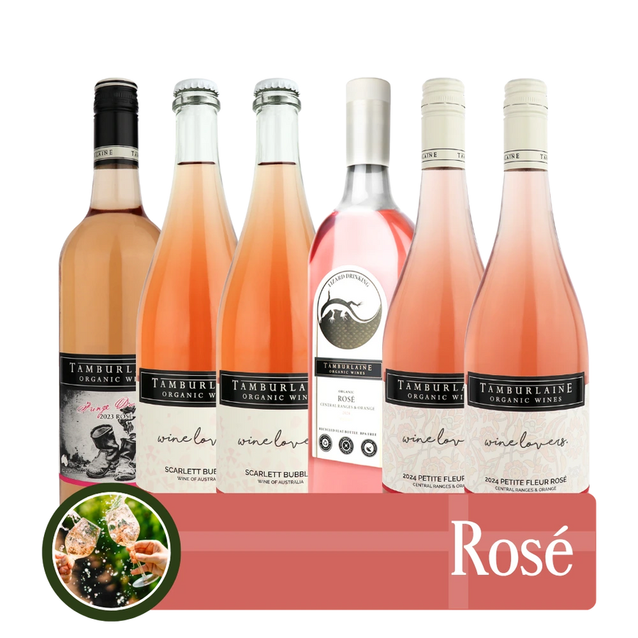
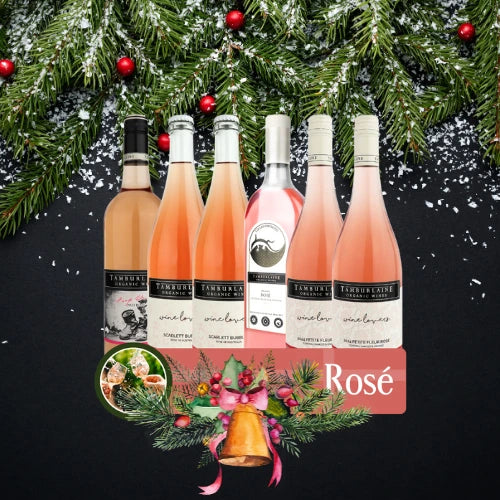
- Rosé wines — Crunchy, juicy and versatile. The kind of rosé that goes from afternoon picnic to dinner party with ease.
- No added sulphur wines — Crafted without preservatives for those seeking a purer drop with no compromise on taste.
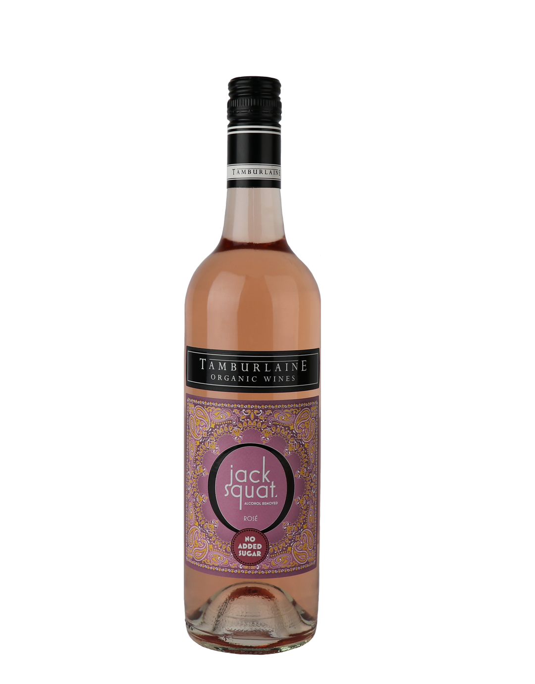
- Non-alcoholic wines — Our Jack Squat range brings full flavour and a true wine experience without the alcohol.
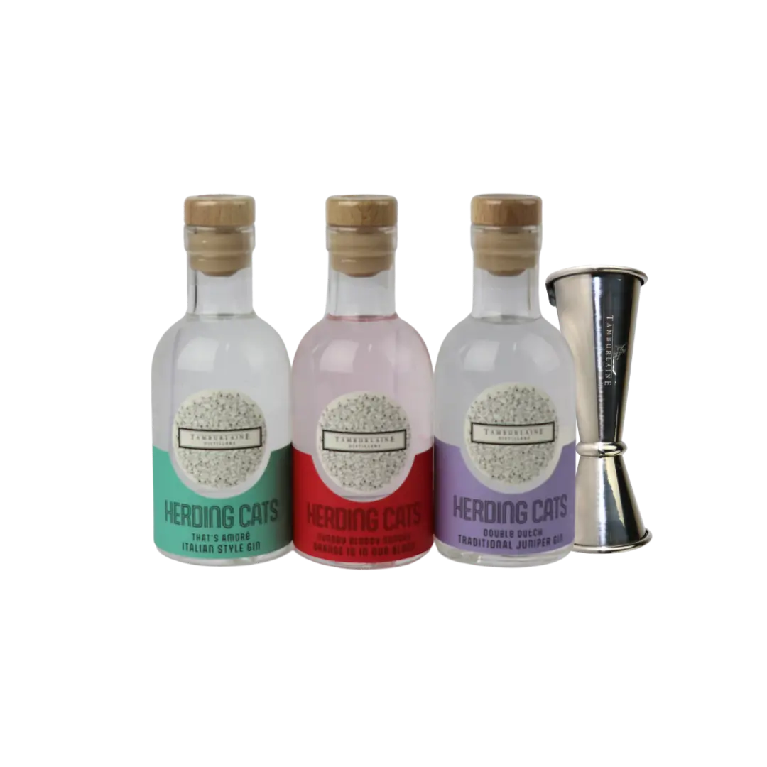
- Gins & Vodka — Herding Cats organically certified gins and vodka are produced from Tamburlaine’s own neutral spirit.
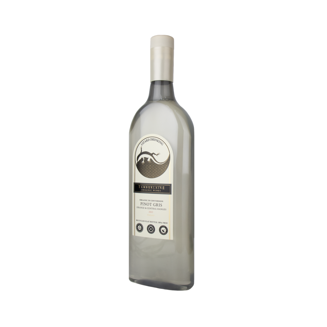
- Eco-friendly wines — Our Lizard Drinking series comes in lightweight, recycled and recyclable PET-bottled organic wine that’s kinder to the planet and easier to carry.

See What Tickles Your Fancy
With a diverse portfolio of expressive ranges, there’s something for every wine lover and every occasion.
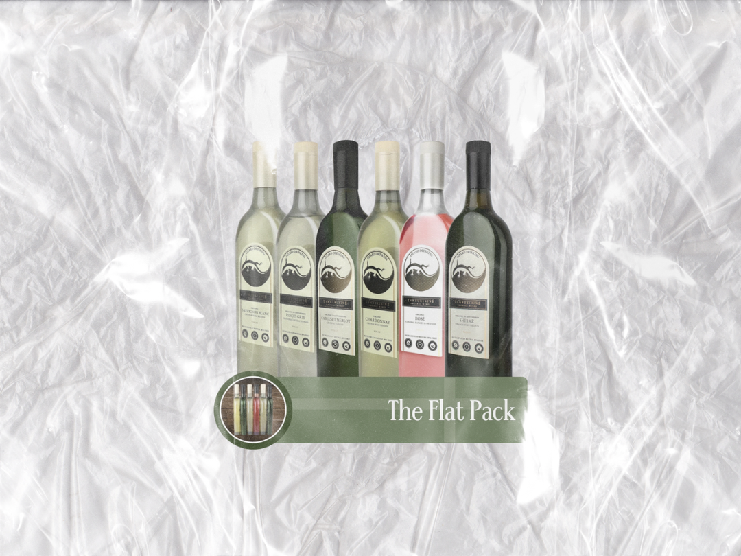
- Lizard Drinking — Your go-anywhere wine companion. Smashproof, lightweight and blind-taste approved, perfect for adventures and weekends away.
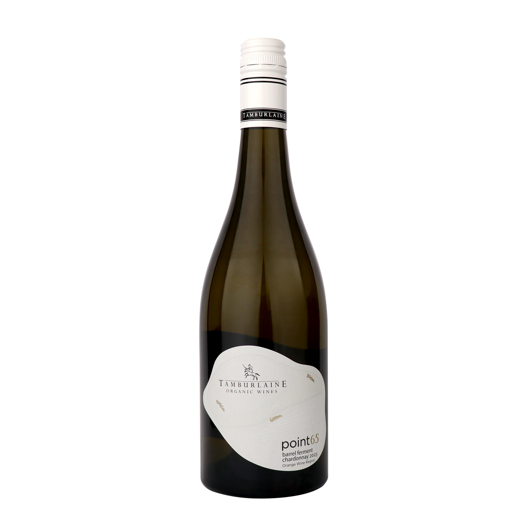
- Point 65 — Crafted for bars and restaurants, this premium range is elegantly crafted from hand-selected special parcels of fruit for each vintage.
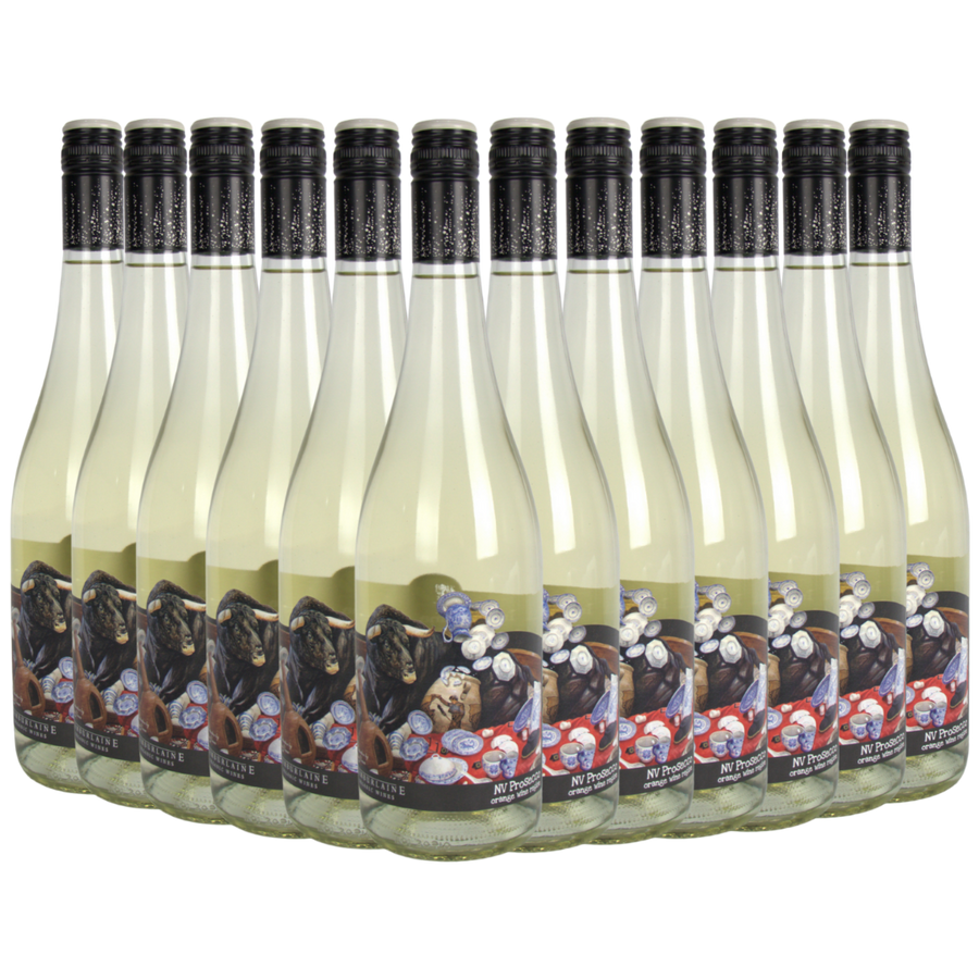
- Bull In A China Shop — Bold, fizzy and full of personality. These fruit-forward, innovative organic wines bring the energy to any celebration.
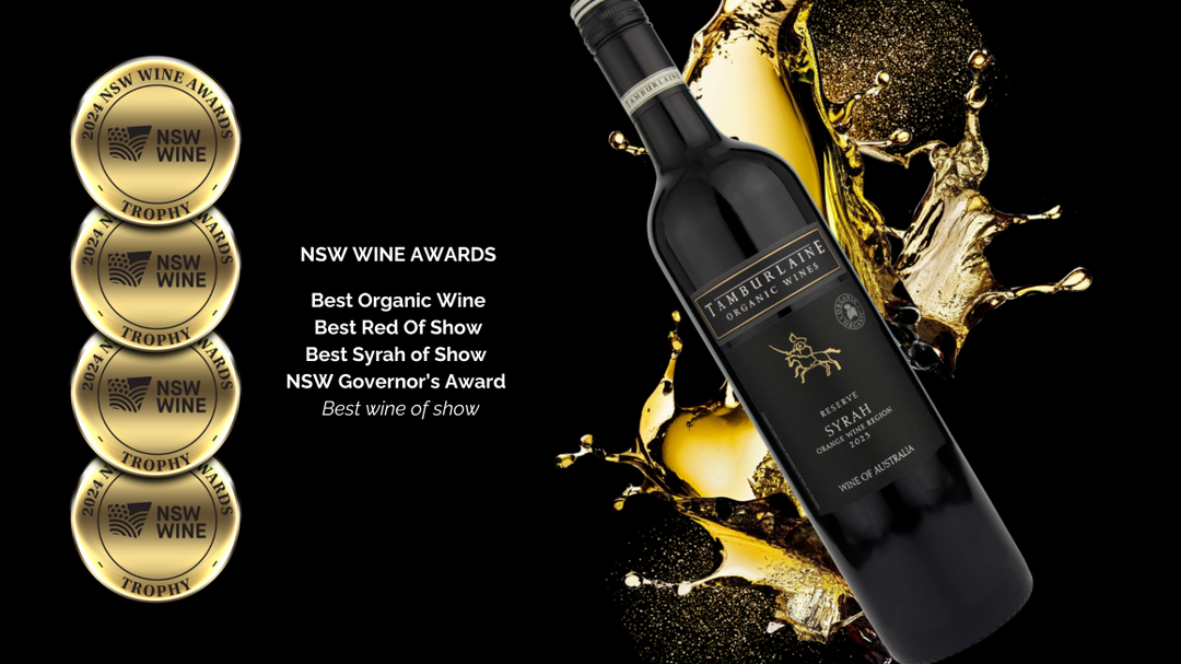
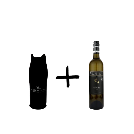
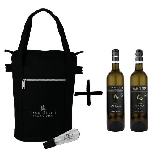
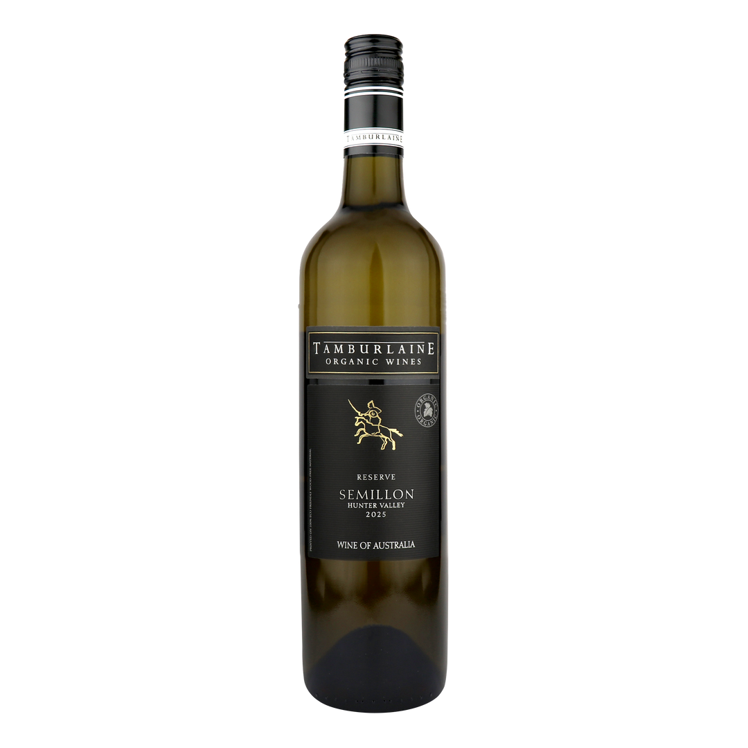
- Reserve Range — Our flagship, limited-release wines showcase the pinnacle of each vintage.
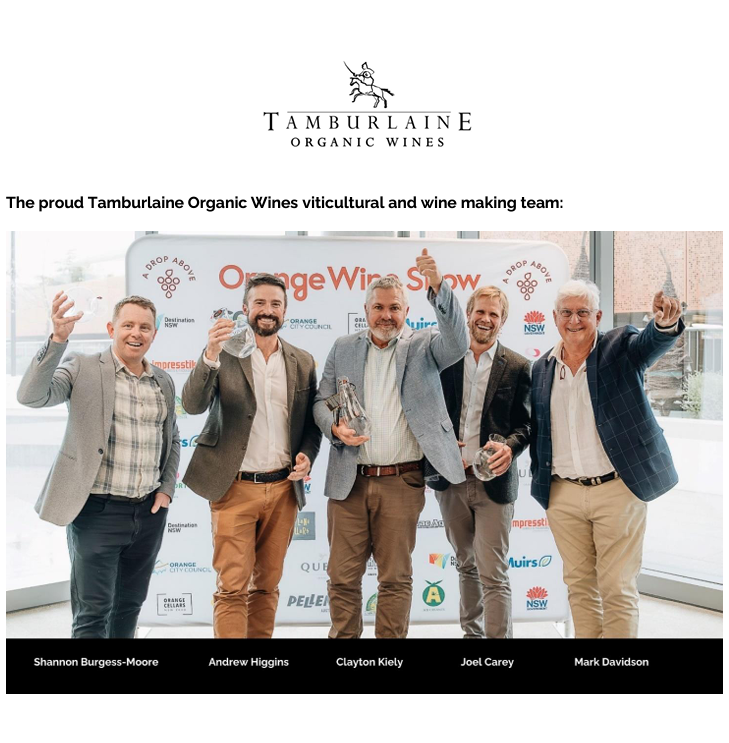
- Signature Series — Personally curated by head winemaker Mark Davidson, these organic wines reflect the essence of Tamburlaine’s vision and craftsmanship.
- Wine Lovers — Everyday favourites with broad appeal and easy-drinking charm.
- Jack Squat — Real wine taste, zero alcohol. Created for those who want to skip the booze but not the flavour.
- Herding Cats Gins & Vodka — A spectacular range of spirits crafted from our own neutral grape spirit blended with organically certified botanicals. .
Buy wine online at Tamburlaine
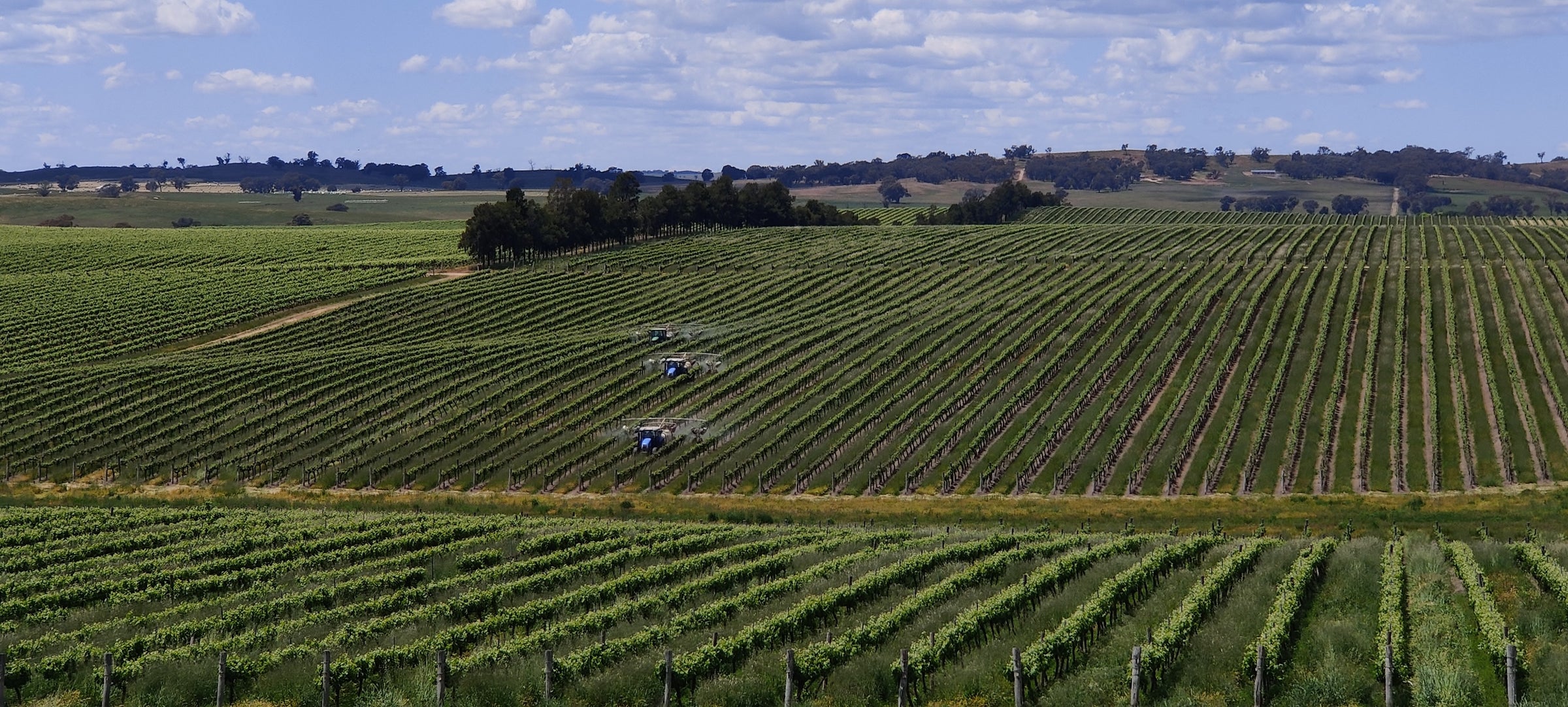
From sustainable packaging to sulphur-free options and non-alcoholic innovations, Tamburlaine makes it easy to buy organic wine that aligns with your values — and your tastebuds. Experience the best of organic wine in Hunter Valley and Orange Wine Regions, delivered straight to your door, with Tamburlaine. If you have any questions about our products, get in touch with our team. We’re always happy to help!
FAQs
Depends where you need it to go! Check out our pre-Christmas delivery schedule here.
We craft a wide range of organic wines including reds, whites, rosé, sparkling and dessert varieties. You’ll also find non-alcoholic and sulphur-free options — all crafted with sustainability, purity and great taste at the heart of every bottle.
Most of our wines are vegan-friendly — a commitment we've upheld since 2017. Instead of animal-derived fining agents like gelatin or egg whites, we use plant-based alternatives that maintain the same high standards of quality and flavour.
Absolutely! We’re open seven days a week from 9 am to 5pm every day of the year except Christmas Day! Walk-ins are welcome for groups of four or fewer. For groups of five or more guests, please call us on 02 4998 4222 or use our booking form. Vegan cheese tastings are also available!
We’d love to see you! Our Cellar Door is in Millthorpe, just 20 minutes from Orange town centre. We’re open for walk-ins on Fridays from 12 to 4pm, Saturdays 10am to 5pm and Sundays 10am to 3pm, and we’re happy to accommodate visitors on other days with prior arrangement. Simply call us on 02 4998 4299 or submit a booking request online.
On the Grapevine
View all